

Our vision
It is our hope to provide easy to interpret public water quality data so residents and visitors can make responsible recreation choices. This data can also help community members to see the connection to the impact of human actions and regional policies related to watershed management. Advocating for policies and programs that protect the health of our rivers and the communities that depend on them is vital.
By supporting policies, funding, and initiatives that prioritize clean water, we can reduce pollution, safeguard aquatic ecosystems, and ensure safe recreation for everyone. Collective action and informed voices help drive lasting improvements, making our waterways fishable, swimmable, and sustainable for generations to come.
Equipment

Low power consumption, unmatched sensor payload, and an industry-leading warranty make EXO the ultimate choice for long-term water quality monitoring

The equipment was donated by Xylem through its Reservoir Center for Water Solutions program, which provides annual grants to partner organizations
Our partners
The equipment is maintained by the Anacostia Watershed Society, Anacostia Riverkeeper and the Potomac Riverkeeper Network. All three organizations focus on raising awareness to local water quality issues and watershed protection in the DC metro region.

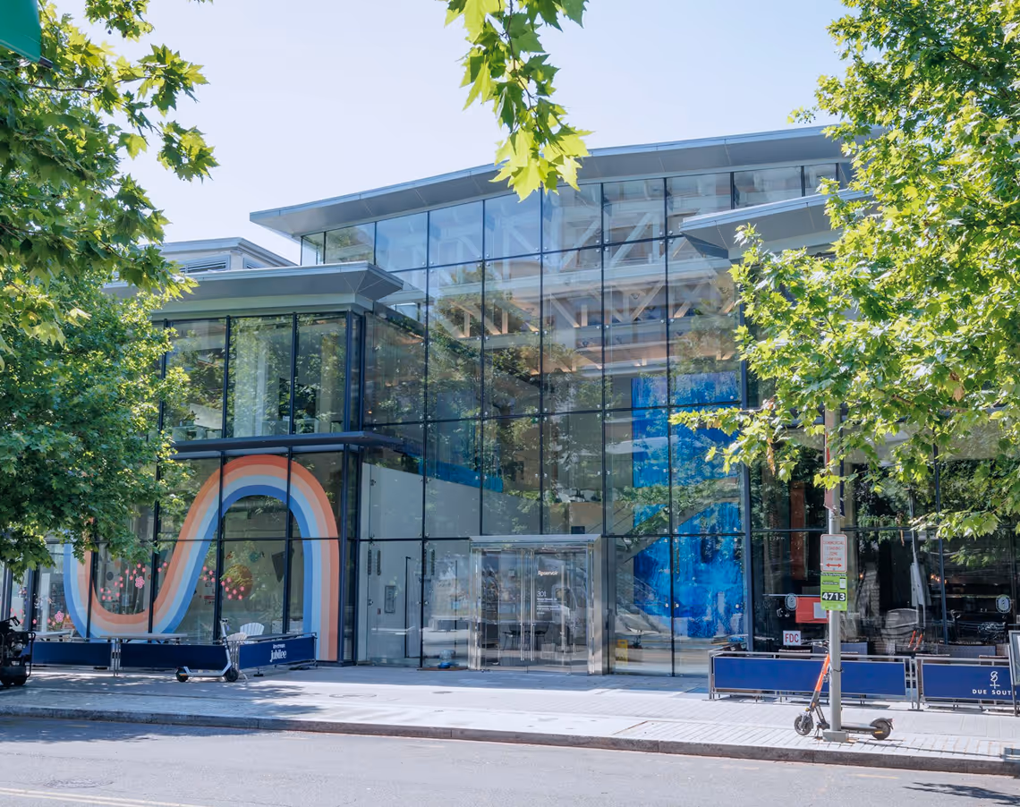
About the Reservoir Center for Water Solutions
The Reservoir Center for Water Solutions serves as a space to bring the water community together. Anchored on the banks of the Anacostia River in Washington, DC it’s goal is to solve global water challenges by bringing the water sector together.
The rivers we monitor

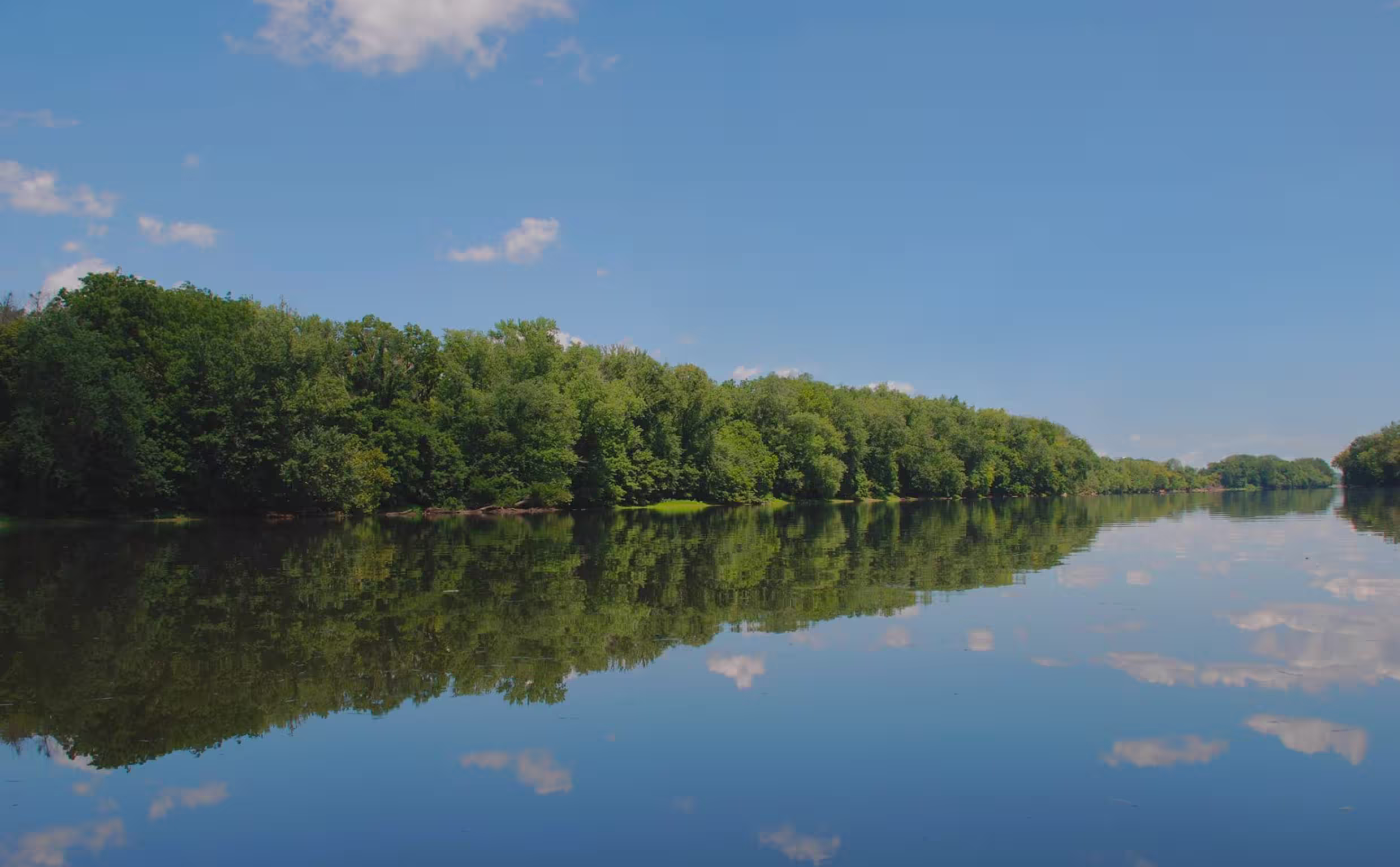
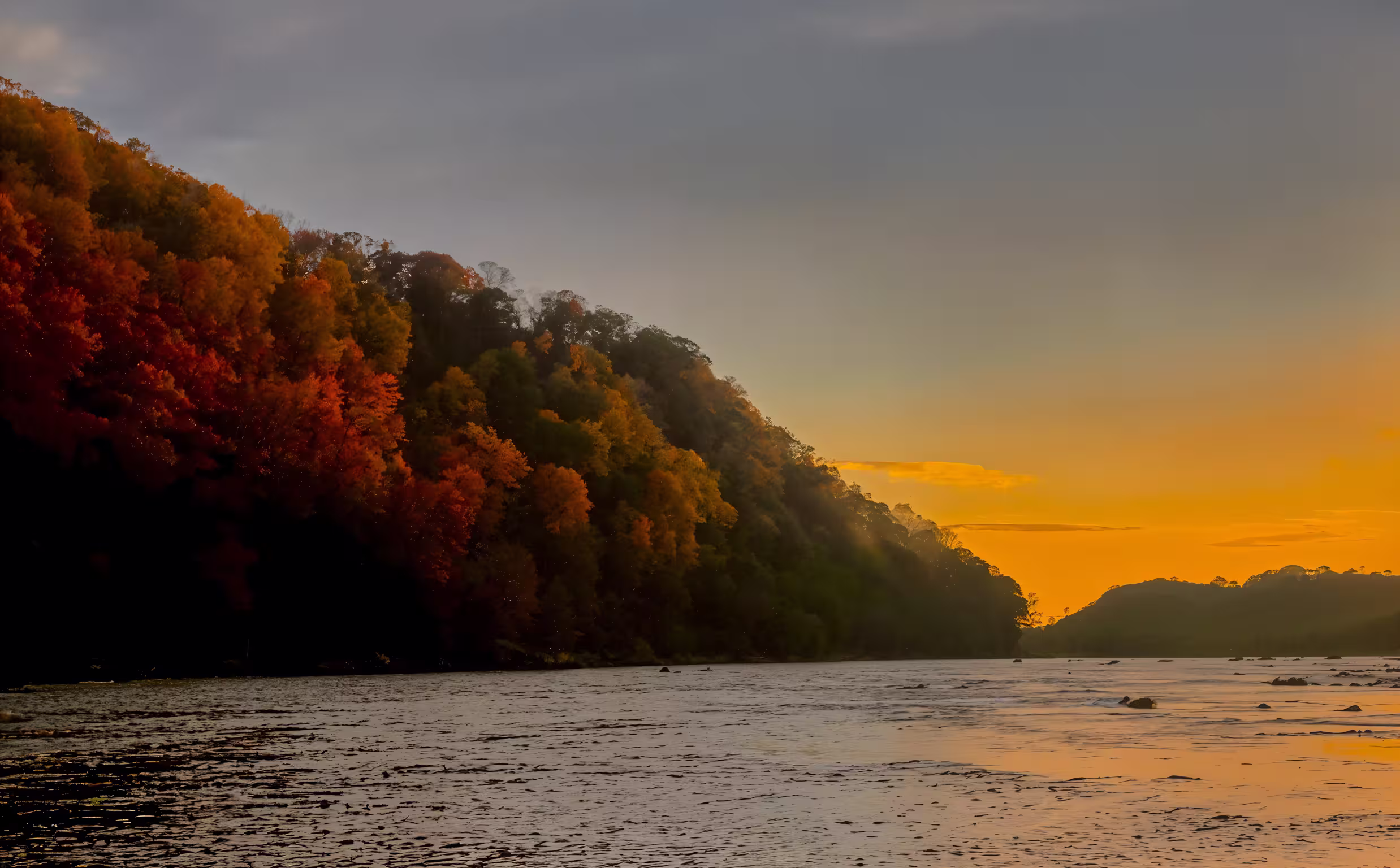
The Anacostia River
The Anacostia River was once a pristine river and home to the Nacotchtank people. It has been severely impacted by urban and industrial development from the 19th century onward. Thanks to regional effort from volunteers, non-profit organizations, and local governments the river is being restored with the goal of a fully Swimmable, Fishable Anacostia.
The river’s mainstem is 8.5 miles long and runs from Bladensburg, MD to its confluence with the Potomac River in DC. The Anacostia watershed, or the area of land that drains into the mainstem of the river, is 176 square miles and comprises parts of Washington, DC, Montgomery County, MD, and Prince George’s County, MD.
About 70% of all land in the watershed is developed. This, makes it one of the most urban watersheds in the United States. It is one of only three rivers in the US with a “trash diet” because of the amount of trash entering its tributaries.
The Potomac River
The Potomac River – named after its indigenous inhabitants, the Patawomeke – flows through four states (Maryland, Pennsylvania, Virginia and West Virginia) as well as the District of Columbia. Descendants of the Patawomeke, now recognized as the Patawomeck Indian Tribe of Virginia, still reside along the river in Stafford County, VA.
The Potomac basin is the 2nd largest watershed in the Chesapeake Bay watershed, with a drainage area spanning 14,670 square miles. The Potomac provides drinking water for 86% of the basin’s population -- approximately 6 million residents.
The river is also home to a plethora of unique aquatic species: shad, herring, striped bass, largemouth bass, short-nosed sturgeon, oysters, blue crabs, river otters, and more than 1000 bottlenose dolphins that frequent the river every summer!
Like many waterways in the region, the Potomac battles pollution from sewage effluent, stormwater overflows, and heavy metal contamination; plastic pollution and forever chemicals (PFAS PFOA) further exacerbate the river’s health. But thanks to the continued stewardship of community groups, environmental non-profits, and river advocates, the Potomac remains a clean and accessible resource for all.
The Shenandoah River
The Shenandoah River consists of two branches, the North and South Forks, which both run approximately 100 miles before meeting in Front Royal, VA. From there, it continues another 57 miles before joining with the Potomac River in Harpers Ferry, WV. The Shenandoah River Watershed encompasses 2,937 square miles. The river and region derives its name from the Native Americans who inhabited its banks as far back as 13,000 BC. Tribes included the Iroquois, or the Six Nations tribe; the Shawnee; the Delaware; the Catawbas; and the Cherokees.
European colonists arrived in the area in the 17th century and stayed close to the Shenandoah, accounting for its abundance of fertile land. The Shenandoah River not only provides rich soil for farming, but also supports a wide variety of species, including white-tailed deer, black bears, bobcats, coyotes, eastern brook trout, red-tailed hawks, and the endangered Shenandoah salamander.
As settlers arrived, the Shenandoah’s landscape began to change, with mills appearing on the banks and wooden trade boats in the water. Nowadays, the Shenandoah watershed is known best as being a top destination for small-mouth bass fishing!